
Your Guide to the Cañon: Preparedness, Hiking, Biking & Climbing
With 65 miles of trails, there are endless outdoor recreation options for all seasons and every ability level.
Whether you’re an early bird, or an afternoon rambler, on wheels or on feet; this is your guide to all the information and resources you need to plan an awesome day.
Preparedness: Know Before You Go
-
Elevation
At 6-7K feet above sea level, there is less oxygen in the atmosphere. Until you are acclimated be aware this will impact your cardio.
If you are visiting from a lower elevation, be watchful for signs of elevation sickness. Anyone of any fitness level can be affected. Vigilance can make the difference between walking out or being taken out in a medical rescue.
-
Sun & Hydration
The sun packs a punch due to less atmosphere, so make sure you wear sunscreen and bring more water than you think you need. If you are wondering, “Am I drinking enough water?” you probably aren't.
It’s very easy to experience heat exhaustion, know the symptoms and listen to your body for signs you may be getting too hot or dehydrated.
-
Weather
Check the weather prior to your visit and gear up accordingly. A calm day can shift very quickly to a stormy one, temperatures can swing wildly.
Sweeping in rapidly, storms can bring heavy rains, hail and lightning strikes. In winter, be prepared for snow and wind. In summer, to avoid extreme heat and afternoon thunderstorms, head out in the morning.
-
Terrain
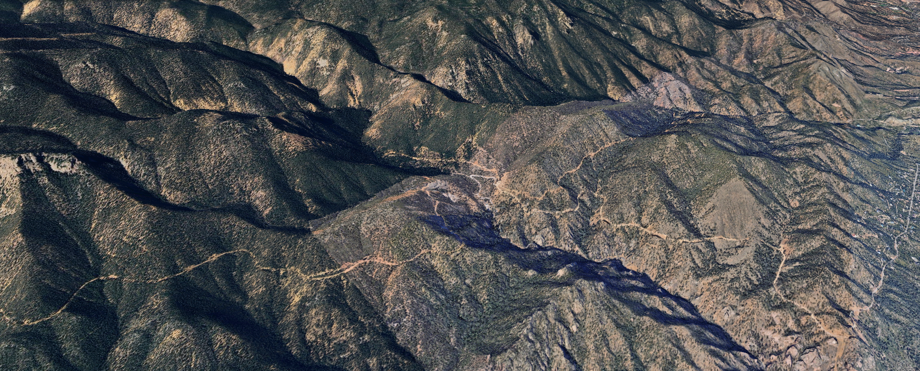
The depth of the canyon (1000 ft) and its unique geology makes the trail surface different than in other areas of the country.
“Scree” is the loose gravel on most of the trails. Many of the trails have steep inclines and some are ice covered in winter.
Be prepared for unstable traction with appropriate footwear and trekking poles.
-
Bathrooms & Trash
Familiarize yourself with the bathroom locations in the park, Starsmore and Helen Hunt Falls Visitors Center. Please be aware that there aren't facilities/trashcans at every trailhead and none on the trails. Please pack it in and out, including dog poop and fruit peels.
If you have to go, always dig (or kick) a hole a few feet off the trail and make sure you cover it when done.
-
Navigation
Cell signal is spotty in the canyon due to its steep rock walls and deep ridge valleys. Downloading maps in "offline mode" is recommended and available on most hiking and biking fitness apps.
It never hurts to carry a paper map as backup in case your battery dies. Maps are available online right here, or at the Visitor's Centers.
Hiking & Biking
Featuring over 65 miles of trails, there are endless options for all seasons and every ability level.
Trail users are very diverse spanning from hikers and bikers, to people on horseback and dirt bikes. Its helpful to know what to expect when it it comes to trail co-existence. Most trails are multi-use and some are just for hikers or bikers.
Whether you want to go for a short walk, or a long ride, this is the important information you will need to plan for a stellar hiking experience!
MULTI-USE TRAILS
Columbine Trail System
Lower
Middle
Upper
Daniels Pass Trail System
Daniel’s Pass
Sweetwater Canyon
Bruin Trail
Chamberlin Trail
Captain Jack’s
Ladders
Gold Camp Road
BIKE ONLY TRAILS
Chutes
HIKE ONLY TRAILS
Mount Cutler/Mount Muscoco
Seven Bridges
Silver Cascade Falls
Saint Mary’s Falls
Trail Map
The interactive map shows multi-use, hiking only and biking only trails.
In order to see all the locations listed, click on the legend icon in the lower left hand corner to expand the legend. Click on the legend to zoom to that location and to access a popup with a link for more information.
Hiking and multi-use trail popups link to COTrex, a site/app similar to AllTrails. Bike only trails link to the MTB Project. Detailed information can be accessed on those sites.

Hiking & Biking Resources
Featuring over 65 miles of trails, there are endless options for all seasons and every ability level.
Trail users are very diverse spanning from hikers and bikers, to people on horseback and dirt bikes. Its helpful to know what to expect when it it comes to trail co-existence. Most trails are multi-use and some are just for hikers or bikers.
Whether you want to go for a short walk, or a long ride, this is the important information you will need to plan for a stellar hiking experience!
Climbing
North Cheyenne Cañon Park is one of the premier designated technical climbing zones in Colorado Springs, offering classic multi-pitch trad lines, sport routes, and seasonal ice climbing. It’s rugged, Pikes Peak granite cliffs have evolved from a military and mountaineering training ground into a modern recreational hub.
In the early 1900s, climbers like Colorado College professor Albert Ellingwood used the canyon to develop technical mountaineering in the Pikes Peak region. Later, Fort Carson soldiers trained there on crags near The Pinnacle and Graduation Boulder, leaving behind eye-bolts and The Amphitheater. By the late 20th century, local climbers and Mountain Chalet helped shift the area toward modern free climbing, and route development in the late 1990s and early 2000s made it a key winter ice climbing destination.
Today, the park hosts hundreds of traditional, sport, and bouldering routes. To preserve the ecosystem and honor the canyon's historic roots, the city requires climbers to obtain a free annual permit before scaling the rocks.
Rock climbing is allowed in North Cheyenne Cañon Park, but you must get a free annual technical climbing permit from the City of Colorado Springs website before you climb.
ROUTES
Graduation Boulder and Post-Graduation B
The Pinnacle
Sun Slabs
Creekside Wall
West Face
(The Pinnacle West Face)
The Amphitheater
Flying Buttress
Fly Cave Wall
1st Middle Buttress
1st Middle Buttress Boulder
Army Slab
Bold Tramp Lode
ROUTES
Buckhorn Boulders
Buzzard Boulders
Company Wall
Crow's Nest
Eagle Perch
The Nose
(aka Mid-Columbine Buttress)
On the Rocks
Point Sublime
Roadside South Face
Second-Hand Buttress
Silver Cascade Slab
South Buttress
South Buttress and Tinseltown
Climbing Route Map
The interactive map shows the numerous climbing route and bouldering site locations.
In order to see all the locations listed, click on the legend icon in the lower left hand corner to expand the legend. Click on the legend to zoom to that location and to access a popup with a link for more information.
Map popups link to the MTN Project site. Detailed information can be accessed on that site.
Climbing Resources
The MTN Project is your comprehensive go-to resource for detailed information on climbing and bouldering routes and locations.
You can review local climbing regulations and safety requirements, and get a permit to climb, on the City of Colorado Springs Rock Climbing Guide.